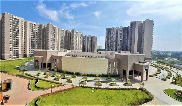
Kanakapura Road Bangalore Map 2026
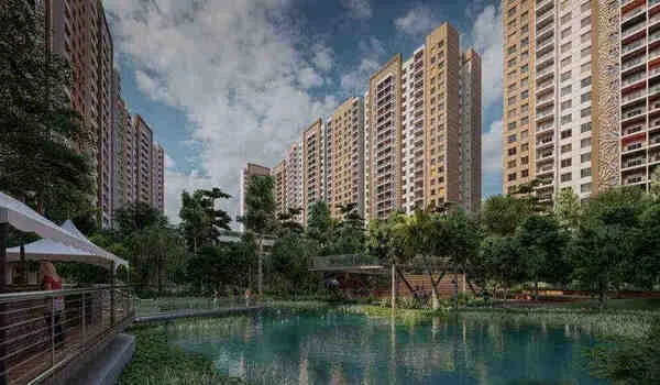
Featured Image of Kanakapura Road Bangalore Map 2026


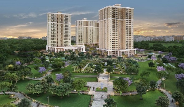
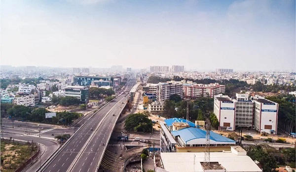
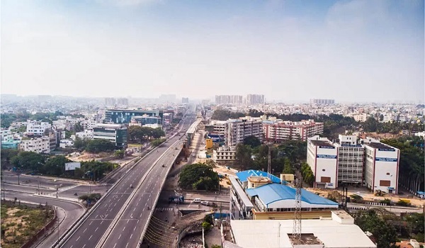
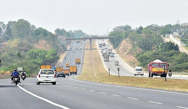
Kanakapura Road is a long stretch of road in South Bengaluru. It begins near Banashankari and runs all the way to Kanakapura town, covering close to 55 km. Prestige Falcon City Luxe, a home project by Prestige Group, sits along this road in Konanakunte. This guide walks through the route, the key junctions, and how to read the Kanakapura Road map, whether you check it on Google or want a printable copy.


Where Does Kanakapura Road Start and End?


The road starts about 7 km from the city center, close to the Banashankari Temple. From there, it stretches for 55 km, all the way to Kanakapura town. Along the way, it passes through some of South Bengaluru's busiest and fastest growing areas. Think of it less as one single stretch and more as a chain of neighbourhoods, each one flowing into the next. Near the city end, you have Banashankari and JP Nagar. Further down, you reach Konanakunte, Anjanapura, and Thalaghattapura. Past that point, the road opens up into quieter, greener country, right up to Kanakapura town itself.

Kanakapura Road Distance and Key Stretch Points


If you are searching for a single number, here it is. The full length runs close to 55 km from the city end to Kanakapura town. But most homebuyers only care about the first 20 to 25 km, where the real estate action sits. Konanakunte Cross, where Prestige Falcon City Luxe stands, falls around 15 to 16 km from Banashankari. The NICE Road junction, which links this road to Mysore Road and Bannerghatta Road, sits a little further down, past Thalaghattapura. Past the NICE Road junction, the road thins out and the drive gets a lot more open.

Kanakapura Road Directions From Major Parts of Bangalore


Your route into Kanakapura Road depends a lot on where you are starting from.

  • From Majestic: Take Mysore Road, turn left once you reach Banashankari, and follow the signs onto Kanakapura Road.
  • From Koramangala: Head onto the Outer Ring Road, connect to Kanakapura Road near Banashankari, and continue straight down.
  • From Electronic City: Use the NICE Road bypass to skip the city center, then join Kanakapura Road at the NICE Road junction near Thalaghattapura.
  • From the Airport: Take the Outer Ring Road through Hebbal, or use NICE Road during busy hours, and merge onto Kanakapura Road near Banashankari.

How to View the Kanakapura Road Bangalore Map on Google


The easiest way to see this road properly is to open Google Maps and simply type in "Kanakapura Road, Bangalore." You will see the full stretch light up, running from Banashankari all the way down to Kanakapura town. Zoom in near Konanakunte Cross, and you can spot Prestige Falcon City Luxe sitting right along the main road. Google Maps also shows live traffic colours, which matter a lot here, since the stretch near NICE Road can get heavy during office hours. For turn-by-turn directions, just drop a pin at your starting point and let the app plot the fastest route for you.

Can You Download a Kanakapura Road Bangalore Map PDF?


A lot of people search for a downloadable PDF version of this road, and it is worth answering that honestly. There is no single official PDF map that covers all of Kanakapura Road in one file. Roads, project names, and even bus routes here change often enough that a static PDF goes out of date fast. The better option is to use Google Maps directly, since it always shows the current layout. If you do want something to print or save offline, open the route on Google Maps, tap the share icon, and choose the print option to save it as a PDF on your device.
Key Landmarks and Junctions Along the Kanakapura Road Map


A few landmarks act as natural markers when you are reading this map or giving someone directions.

  • Banashankari Temple: Marks the start of the road, close to the city center.
  • Yelachenahalli and Jaraganahalli Cross: Busy junctions in the early stretch of the road.
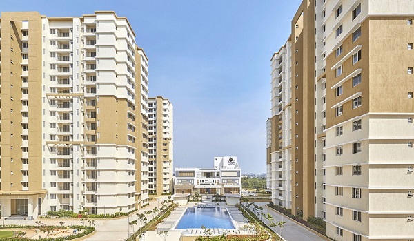
  • Konanakunte Cross: Home to Prestige Falcon City Luxe and the Forum South Bengaluru mall.
  • NICE Road Junction: Connects Kanakapura Road to Mysore Road and Bannerghatta Road.
  • Udayapura: Location of the Art of Living International Center, a well-known landmark further down the road.

Metro and Bus Routes Marked on the Kanakapura Road Map


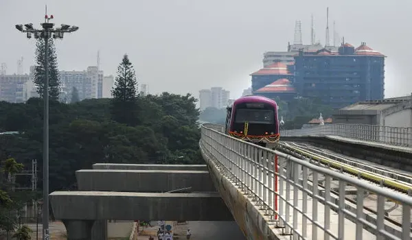
The Green Line metro runs along a good part of this road, with a station right at Banashankari. From there, it continues through Jayaprakash Nagar, Yelachenahalli, and Konanakunte Cross, before reaching Silk Institute further down. Buses on routes like 213-M, 215-U, and NICE-2 also run along this stretch, alongside the KIA-5D airport service. If you are marking up a map for daily travel, these metro stations give you a quick, reliable way to judge distance without needing to check road traffic at all.

Residential Projects You Will Find on the Kanakapura Road Map


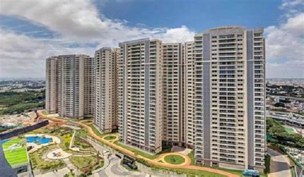
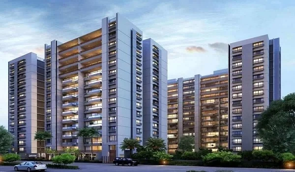
Kanakapura Road carries a good number of home projects, spread out across its length. Here is where the major ones sit.

Project Developer Approx. Distance from Banashankari
Prestige Falcon City Luxe Prestige Group ~15-16 km
Prestige Falcon City (Phase 1) Prestige Group ~15-16 km
Provident Park Square Puravankara Group ~14-15 km
Assetz Meru and Meadow Assetz Property Group ~17-18 km
Casagrand Casablanca Casagrand ~17-18 km
Sattva Forest Ridge Salarpuria Sattva Group ~20-22 km
Brigade Meadows Brigade Group ~24-26 km

Projects closer to Banashankari sit inside the busier, more built-up stretch. Projects further down, past the NICE Road junction, tend to offer more open space and lower density.

Quick Map Reference Table


Landmark Distance from Banashankari Notes
Banashankari Temple 0 km Start of Kanakapura Road
Konanakunte Cross ~15-16 km Prestige Falcon City Luxe location
NICE Road Junction ~18-20 km Links to Mysore Road and Bannerghatta Road
Udayapura (Art of Living) ~21 km Well-known local landmark
Kanakapura town ~55 km End of the road

Where Does Prestige Falcon City Luxe Sit on This Map?


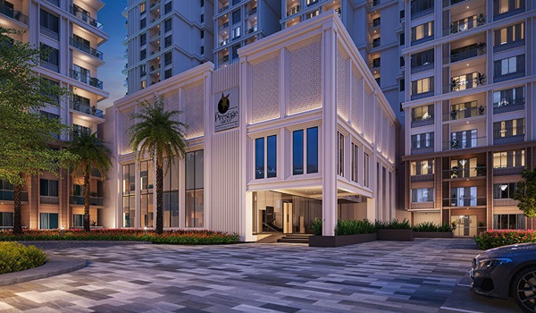
Prestige Falcon City Luxe sits right at Konanakunte Cross, about 15 to 16 km down from where the road begins at Banashankari. This spot places it close to the metro line, right by the NICE Road junction, and well within reach of both JP Nagar and Electronic City. On a live Google Map, you will find it marked just off the main carriageway, an easy pin to drop if you are planning a site visit.

FAQs


1. Where does Kanakapura Road start and end?

It starts near Banashankari, close to the city center, and runs about 55 km down to Kanakapura town.

2. How do I view the Kanakapura Road Bangalore map on Google?

Just search "Kanakapura Road, Bangalore" on Google Maps to see the full stretch, along with live traffic and turn-by-turn directions.

3. Is there a Kanakapura Road Bangalore map PDF available?

No single official PDF covers the whole road. Google Maps stays more current, and you can save a printable copy straight from there.

4. What is the distance of Kanakapura Road?

The full road runs close to 55 km, though most residential activity sits within the first 20 to 25 km.

5. What are the best directions to Kanakapura Road from Majestic?

Take Mysore Road, turn left at Banashankari, and follow the road signs onto Kanakapura Road.

6. Which metro line runs along Kanakapura Road?

The Green Line runs along a large part of this road, with stations at Banashankari, Yelachenahalli, and Konanakunte Cross.

7. Where exactly is Prestige Falcon City Luxe on this road?

It sits at Konanakunte Cross, about 15 to 16 km from the Banashankari end of Kanakapura Road. A clear map of this road makes it far easier to judge distance, traffic, and daily convenience before you commit to a home here. Prestige Falcon City Luxe sits at one of the most well-connected points on that map, right at Konanakunte Cross, with the metro, NICE Road, and JP Nagar all within easy reach.

Prestige Falcon City Luxe Blog


Enquiry
Enquire Now